Tuesday, February 20, 2024

Blanket Bay Campground to Cape Otway Campground (GOW Trip)

 20 February 2024 (Day 3) 16-22 degrees

 https://www.parks.vic.gov.au/places-to-see/parks/great-otway-national-park/things-to-do/great-ocean-walk

https://www.greatoceanwalk.info/

https://www.thegreatoceanwalk.com/official-sections/

Again during the night I woke to what sounded like heavy rain but was in fact wind and surf.

 https://www.greatoceanwalk.info/blanket-bay-to-parker-inlet-hike/

The walk to Parker Inlet was very sheltered with minimal breeze. The path at times is relatively close to the cliff edge, but with trees blocking the view (and fall). We saw two Swamp Wallabies – their tails look very strong and they are a very dark chocolate brown in colour.


 https://www.greatoceanwalk.info/parker-inlet-to-point-franklin/

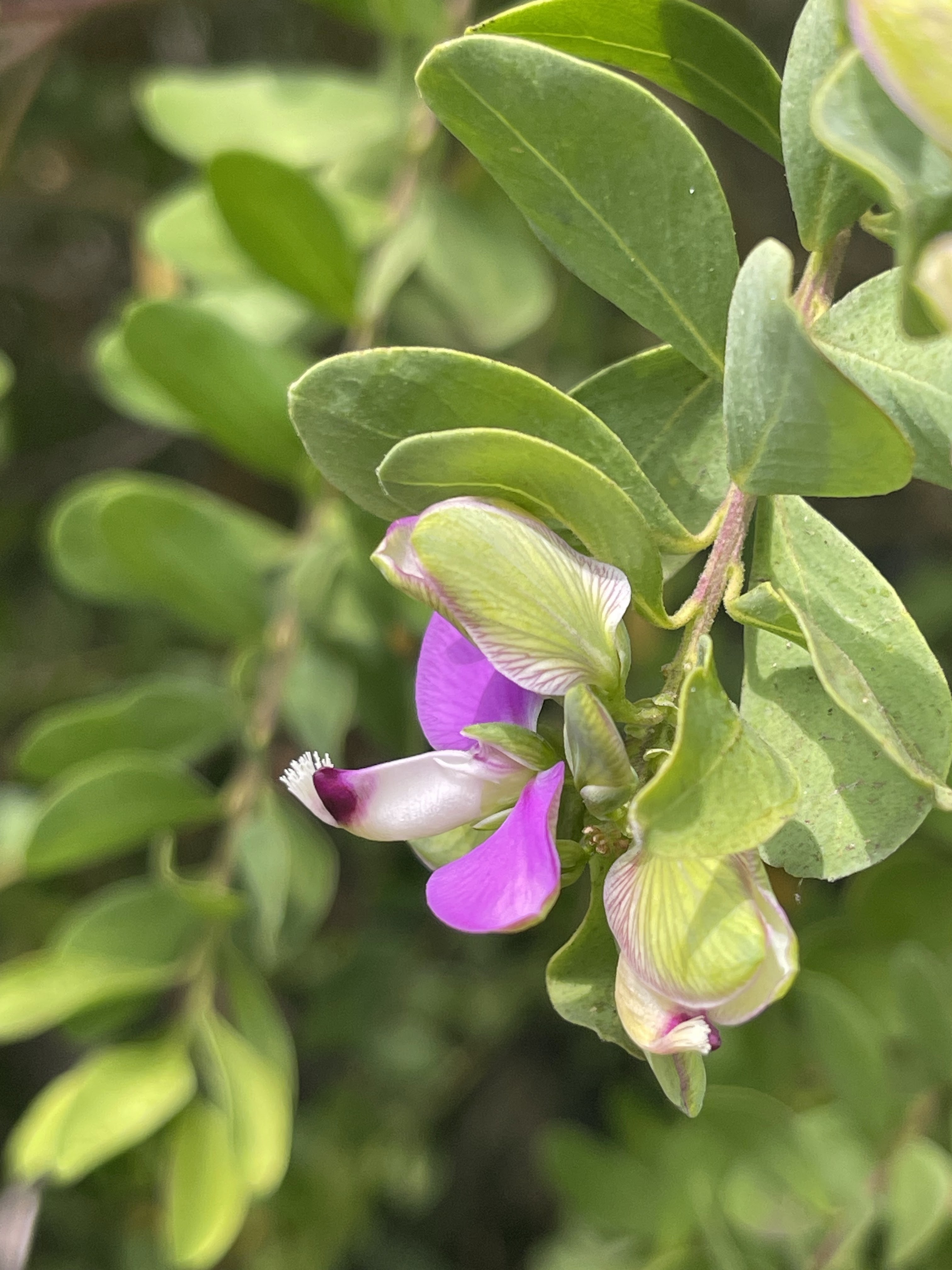
Parker Inlet is very pretty with lots of kelp on the north-eastern side. The colour of the sand here is more like the colour we are accustomed to. We arrive at mid tide (outgoing) and the inlet was very easy to cross today. The path from here would be unpleasantly muddy in wet conditions. Coming from Parker inlet to Parker Hill Campground there were approximately 300m of upward stairs. The campground tank here was empty, but we had loaded enough water for the whole day.

https://www.parks.vic.gov.au/places-to-see/sites/parker-hill-campground 


We walked through bush for approximately 20 minutes before dropping down to the beach at Point Franklin, to see the Eric the Red anchor, and explore rock pools.  There were deep rock crevice that intermittently gave a whumping noise when the waves were just the right size. From here we decided to continue on the beach around Seal Point to Crayfish Bay, which was beautiful. We then climbed back up to the main GOW path. This was much hotter as despite being close to the cliff edge the trees trapped the humidity and blocked the wind. As we progressed along the walk we saw increasing glimpses of the lighthouse with lots of solid ups and downs. We continued past the lighthouse to the campsite and put up our tents before returning to the Cape Otway Lighthouse precinct to do a self-guided tour of the grounds. 


https://www.lightstation.com/

The lighthouse itself is currently off limits due to a previous earthquake and mercury spill. There were several buildings to explore, including bunkers that were used for communications during WW2. We enjoyed a muffin and caramel slice at the café, which is located in one of the heritage buildings. Life at the lighthouse would have been a very isolated existence. 

https://www.lightstation.com/explore-cape-otway/cafe/


Old and New
On our return we continued past the campground to look at the small Cemetery associated with the lighthouse community.

https://www.visitmelbourne.com/regions/great-ocean-road/see-and-do/outdoor-and-adventure/walking-and-hiking/vv-lighthouse-cemetery-and-lookout-walk

 https://www.findagrave.com/cemetery/2363591/cape-otway-cemetery

In camp tonight we had last night's group of teens and another group from the same school, as well as a new and quite different group. The map of the Cape Otway Campground does not fit the current layout of the campground.  There have been some upgrades here with the camp shelter area having LED lighting and USB charging points.


Statistics

Distance    12.09km

Time         4 hours 45 minutes

Ascent      377m

Descent     302m

Temperatures 16.3 – 22.1 degrees Celcius

No comments:

Post a Comment